Once in town, turn left onto highway WA-20, and stay on WA-20 for about 64.5 miles, past Gorge Lake, and Diablo lake to your turn off at Colonial Creek Campground. Turn right into the campground, and go to the back of the camp. There will be a few parking spaces next to the bathroom for the trailhead for Thunder Creek trail. We followed this trail all the way to Thunder Basin, which makes for about a 39 mile round trip hike.
Maps: We used the National Geographic Trails illustrated map of the North Cascades. A good map, waterproof, and useful for this kind of trek, as we really didn’t get off trail. If I was going to head off cross country, I would want a higher resolution map, as this one is only a 1:100,000 scale. Still, it was plenty adequate for following the trail.
Permits: Backcountry permit is required. We obtained one from the Wilderness Information Center, in Marblemount, just off of higway20, so be sure to stop there on your way to get your permit! Also, they have bear canisters for there, as well. Their phone number is (360)854-7245. Check out these two websites! Stephen Mather Wilderness Map, and the North Cascades National Park website.
It was a dark and stormy night…Ok, not really, but I’ve always wanted to start a story out that way…
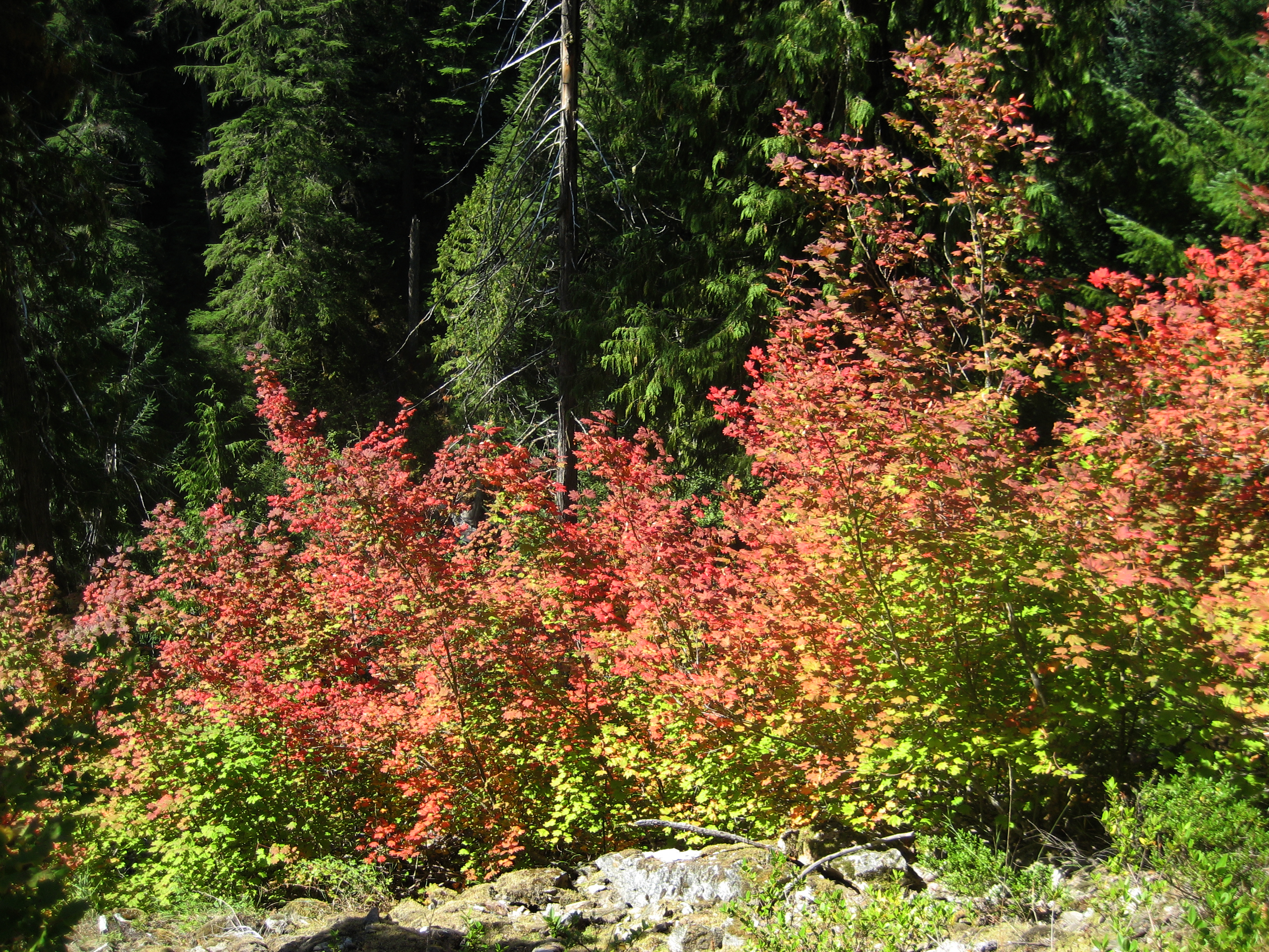
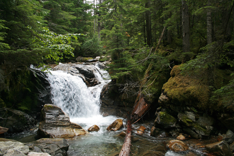
We started under clear skies, actually, from the Colonial Creek Campground, where the trail head for Thunder Creek started. Our first day would be relatively flat, winding along Thunder Creek under a forest canopy, the ground blanketed in a thick cover of moss, speckled here and there with a large variety of mushrooms, in all shapes, sizes, and colors.
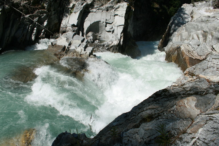
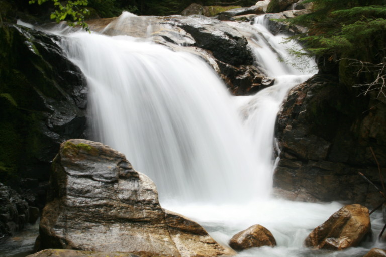
…as we trekked next to the creek, we could actually feel how it got its name, as the ground vibrated from the crashing water running down a narrow ravine.
At one point of the trail, as we trekked next to the creek, we could actually feel how it got its name, as the ground vibrated from the crashing water running down a narrow ravine. It was an awesome display of power, cascading down the stepped gorge, before disappearing around the corner. It was here, that I would receive my first

“souvenir” of many on our 4 day hike, as stepping over a downed tree, I got a nice gash across my thigh from a broken off branch…
Our first scheduled stop was supposed to be at Tricouni camp, but, as we were not impressed with the site, we decided to push on another 2.2 miles to Junction camp, and were we ever glad we decided to do that…What a great view!!!
The site was situated at the edge of the Thunder Creek basin, with views across the valley to the prominent Boston Glacier, and the surrounding peaks, Boston, Forbidden, Tricouni, and Mount Torment.
Hello, Rufus, thanks for letting me know. I am sorry for that, but for some reason, all of the comments that I’m now getting are from borvestinkral.com, so I feel bad about that. I will ask my web developer what I can do about that for you, and again, I am very sorry. If I can get this fixed for you, I will send you a reply to your gmail acct. Again, I apologize for this.