Day 2.
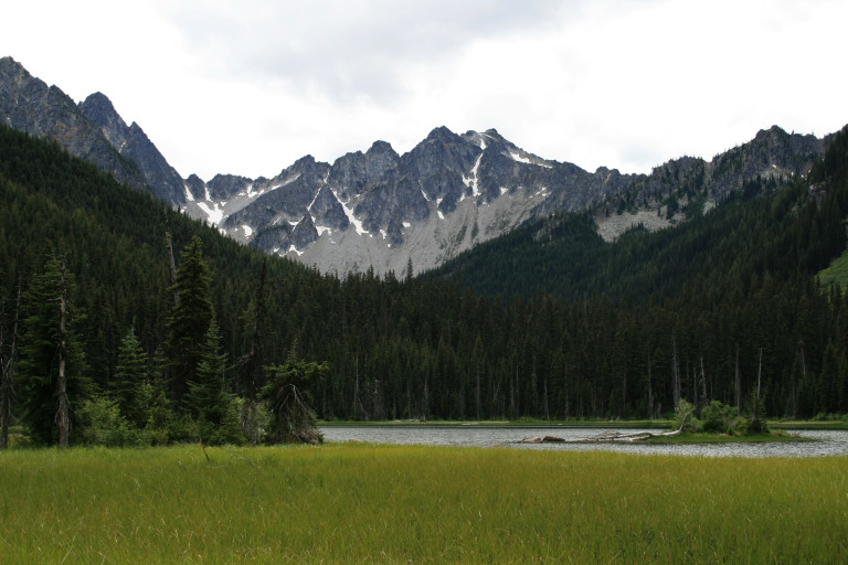
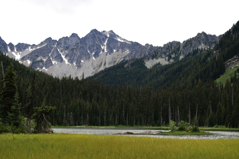
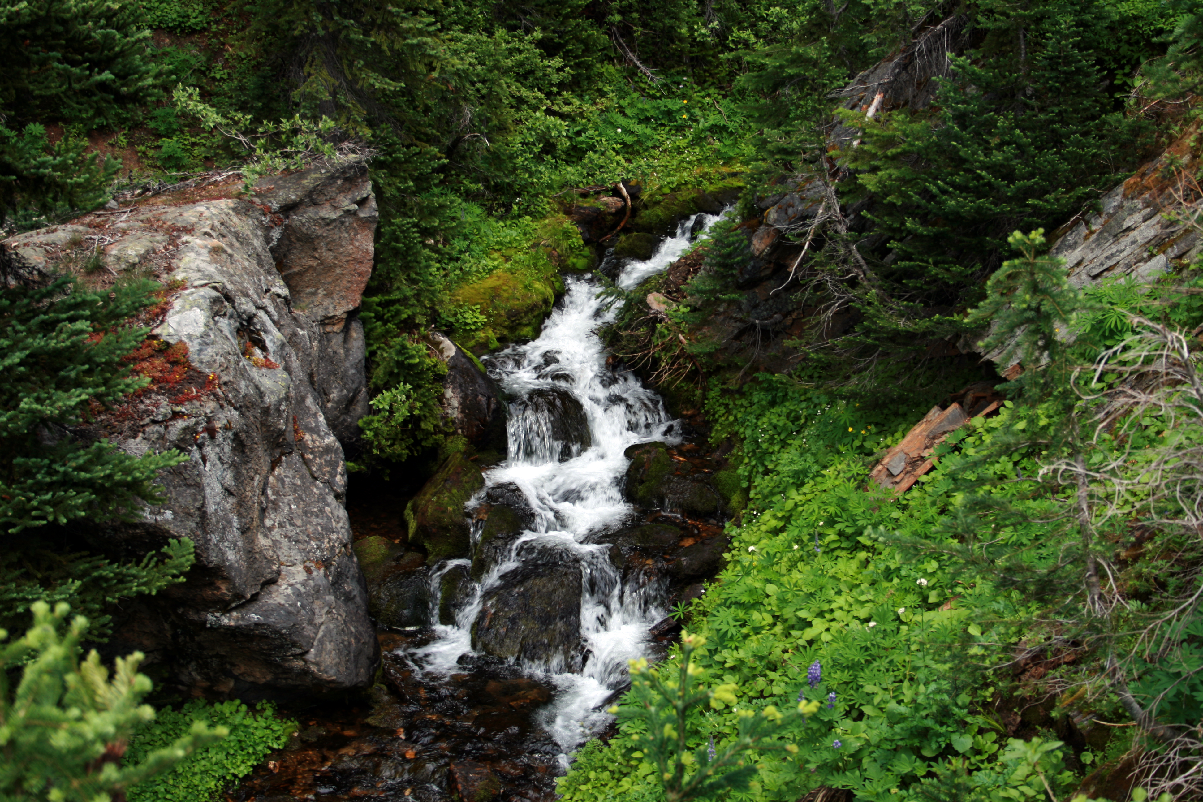
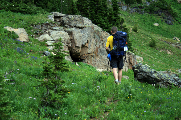
Saturday, we head out, up the Jack Creek Trail, #1558 1.2 miles to the junction with trail #1555, the Trout Lake trail. From here, it’s a moderate grade up, 4.5 miles to the lake, gaining appx. 1500ft of elevation. Mostly through forest, except for one area that runs along the east side of Jack Ridge, where a clear cut gave us a clear sighting of the area that we are in.
The pictures in this area focus on Eightmile Mountain, and Cashmere Mountain, with Windy pass in the middle. You can still see the snow fields on the flanks of Eightmile, around the 6500ft mark.
We make the lake around 1:30pm, and claim our spot. It’s very much wilderness camping, with no real defined camping areas, just a couple of open spots that have obviously been used for sites, next to the run-out from the lake, which is where we get our water for the day, which, of course, is called Trout creek.
So, with site secured, we head to the lake to take pictures, and not a moment too soon! I had just turned on the camcorder, to focus on the lake, and as I’m staring intently into the LCD viewfinder to frame my shot, I notice a large bird flying toward me, so, I just keep focusing on that as it comes into view, flying in front of me from left to right, and I continue following it until it lands in a dead snag on the other side of the lake.
I had just captured a Bald Eagle making off with his catch, a large trout that he had just fished out of the lake! It’s too bad that he decided upon a tree so far away, I tried desperately to zoom in on him, enjoying his meal, but…The camera just was not up to the task, although, its viewable, just not in clear focus. You can even see the trout flopping around, making it clear why this lake was so aptly named.

It’s a pretty alpine lake, but the banks are pretty un-negotiable, as we tried in vain to scramble around the edges. Pretty marshy, and lots of underbrush. Makes one forget what side of the mountains you’re on, it’s very reminiscent of something on the West side!
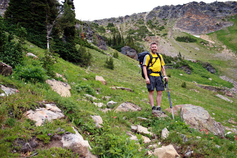
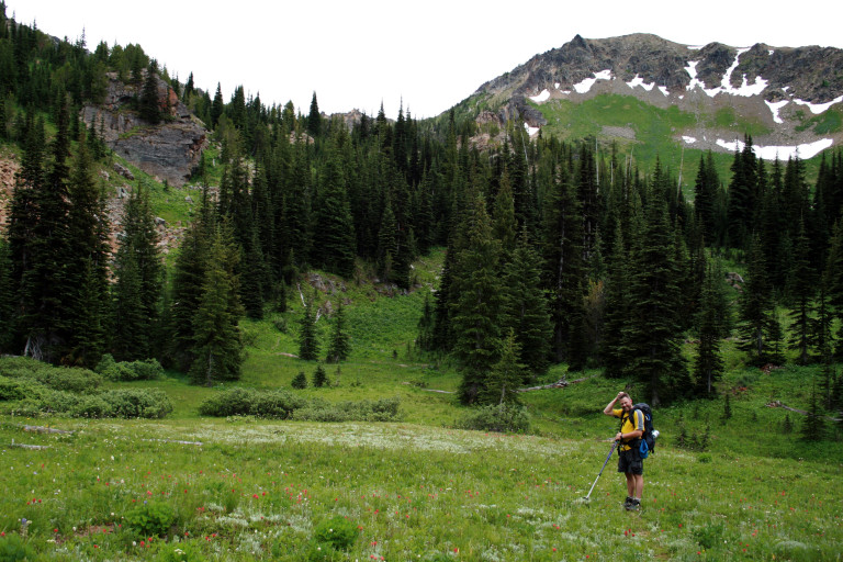
Well, after a couple of hours of beating the brush, and taking pictures, we decide, “Hey, it’s only 3.5 miles to Windy Pass, let’s head up there!” Of course, at the time, the fact that it was also another 2,500 ft of elevation in those 3.5 miles, kind of escaped the logic at the moment…
Well, by 6:00pm, we were within striking distance of the pass, at 6,600ft, but, as those last 600 feet or so looked pretty straight up, and we were 3 miles from our site, we decided to turn around and head for camp.
Still, we were glad to have made it this far, as getting above the tree line gives you the opportunity to see the surrounding terrain, very beautiful, and we decide that perhaps this area will bear further investigating on another hike.
Once in camp, it starts to rain, lightly, just enough to make everything damp, but not unbearable. When we return, another group has taken up residence in the large open spot next to us, 6 people in all. They are from Seattle, and we talk with them for a few minutes, as we have to traipse through their site to get to our water supply at the stream. After hanging our food, we turn in for the night, wanting to get an early jump in the morning for the trip out.
We, too, had experienced a fair amount, probably close to 30 or so trees down across the trail from this last winter.
After talking to the Seattle group, we found out that they had come in the way that we had initially planned to go out, and they warned us that there was a lot of blowdown, so, we decided to go out the way that we had came in. We, too, had experienced a fair amount, probably close to 30 or so trees down across the trail from this last winter.