Take either Trail #1309 Pollalie Ridge, or #1310, Waptus River to Waptus Lake. Be sure, if you decide to take the Waptus River trail, #1310, to look for it’s signage high on a tree, and it’s trail head to start about a 100 yards, or so, PAST the Y junction where trail #1311 heads to Cooper Lake, left, and trail #1309 continues on right to the junction with trail #1310.
Maps: We used the Alpine Lakes Wilderness map, that we bought from REI, and it is water and tear resistant. It is, without a doubt, one of the best maps I’ve ever seen or used. A note of caution, however, which we learned the hard way a couple of times. The map is in 1: 100,000 scale, so be careful when using it for route finding off-trail, you might get suprised, like we did. It’s put out by the Alpine Lakes Protection Society (ALPS). Also, if you stop at the Ranger Station in Cle Elum, ( just off of Miller street, note directions above), they also have for sale Green Trails maps, that have a 1:62,000 scale of the area.
Permits: The only permit you will need is a Northwest Forest Pass, to display in your car at the trailhead. Other than that, you will need to fill out a backcountry permit at the trailhead.
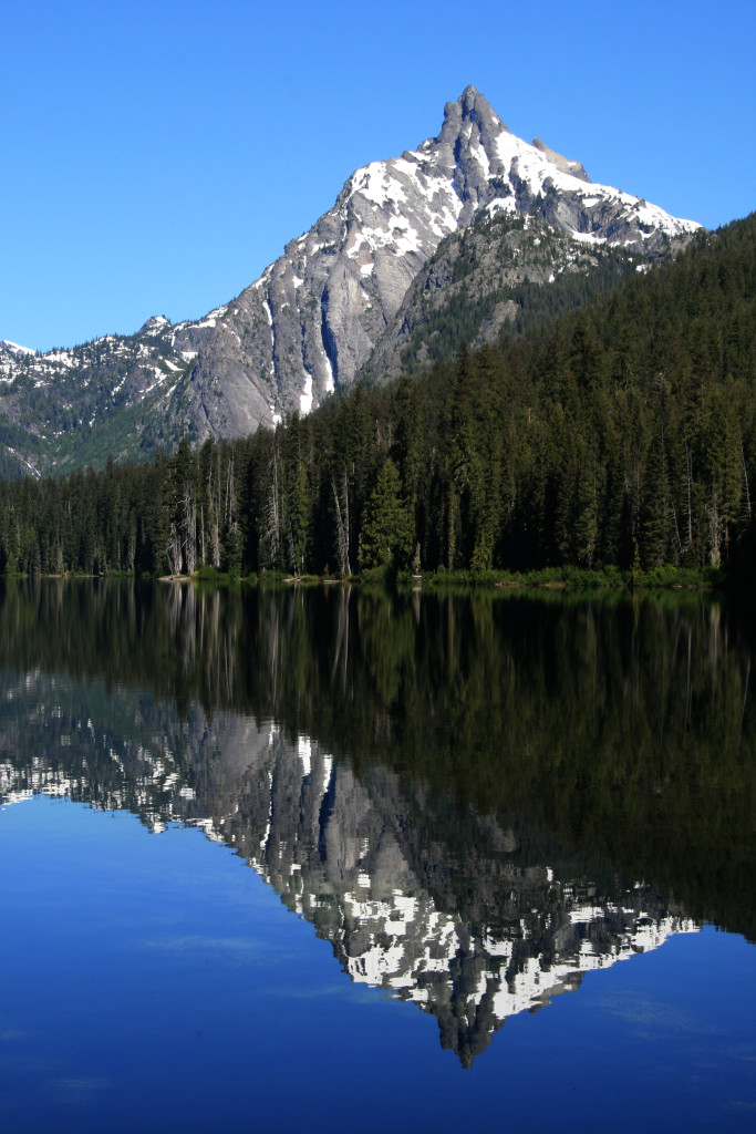
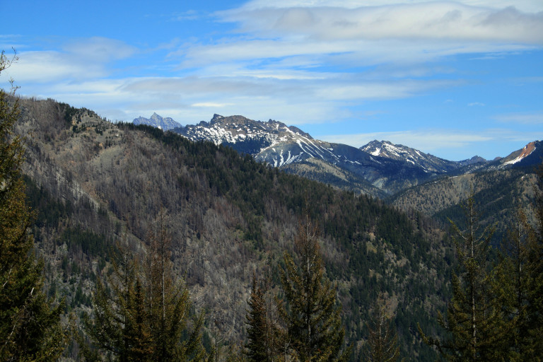
Finally, we are able to get into the backcountry!!! After the record snow fall the state saw this year, it seemed that it would never melt out in time for summer backpacking! So, we embarked on a much anticipated hike into the Alpine Lakes Wilderness area, North of Cle Elum Lake. The Ranger for the area told us to expect snow, but no matter!! We were sure to over prepare, and packed our ice axes, snowshoes, and snow shovel, just in case we ran into rogue snow somewhere…
Day 1.
We arrived at the trail head in Salmon La Sac campground on the 26th, and made our way up the trail, and it was less than half a mile before we ran into our first blunder, which, in retrospect, was a mistake we were glad to have made. Our original plan was to take the Waptus Lake trail,#1310, which followed the Waptus River.
…We blew right by it, and the constant uphill finally clued us into the fact that something was wrong, as we were expecting a bit more of a gradual beginning …
Good plan, however, we missed the trail branch that led that way! The trail appears on the map to branch 3 different directions all at once, but in reality…About a 100 yards up from where trail #1311 and #1309 branch at the same place, the trail along the river, #1310 takes off over a granite shelf, and if you have your head down, and aren’t looking to the right…Well, I guess you know the rest of that sorry excuse…We blew right by it, and the constant uphill finally clued us into the fact that something was wrong, as we were expecting a bit more of a gradual beginning .
How embarrassing! We weren’t even on the trail for 20 minutes, and we already had the maps and GPS out! At that time, we met up with two men and their dogs, who were coming down the trail, and after talking to them, we decided to continue our way up. They told us there was snow on the ridge, but we were undaunted…Did I tell you we came over prepared??? So, we continued up the Polallie Ridge Trail, #1309.
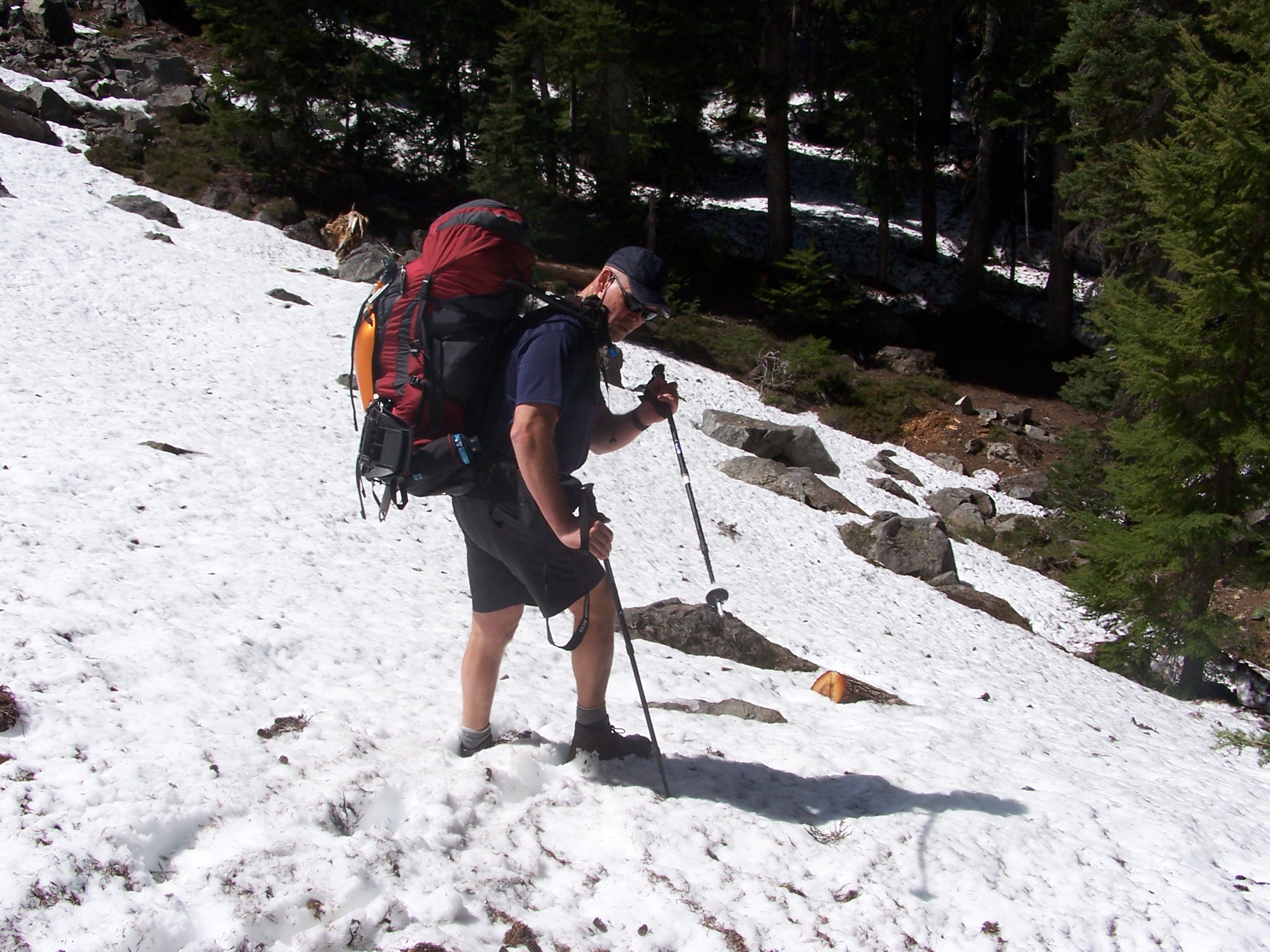
At about the 4600 ft. mark, we ran into snow…After that, the trail made brief appearances for less than half a mile, and then we lost it. We were now in about two feet of snow, and…Since Greg and I had not planned hiking up the Ridge trail, it never got entered into the GPS unit, so we were left with map and compass to navigate.
We kept to the ridgeline as best we could, but we had to make many adjustments for the terrain, like rock buttresses, impassable areas because of trees, etc. Needless to say, we didn’t make good time, as the depth of the snow increased, right along with the difficulty of following the ridge line.
…We both had legs that were scratched and bleeding, leaving them looking like a scratching post for a bobcat…
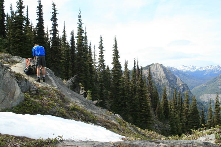
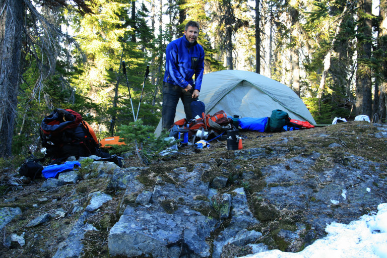
By the time we had made our first 4.5 miles, we were done, and the first good place we found to camp, we stopped. Battered, and bleeding, we found a nice island in the snow, a flat place free of the white stuff, which was close to a fresh water supply, on a knoll above Diamond Lake.
We both had legs that were scratched and bleeding, leaving them looking like a scratching post for a bobcat. I guess these things happen when you start sliding down a steep bank only to be arrested by a strategically placed sapling to the groin, or plunge through the snow to your knee, next to a void created by a downed tree that you couldn’t see. Oh, yeah, we were having the time of our lives, remember, we were “prepared” for this…